

Google Play

$3,900,000 MXN per ha
For Sale
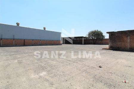
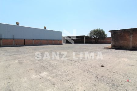
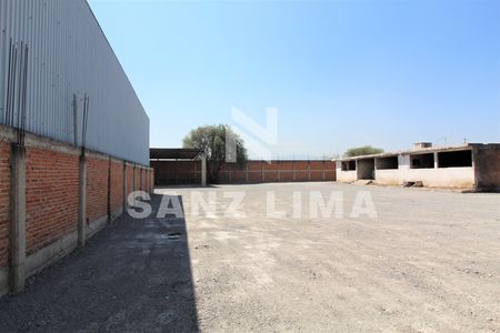
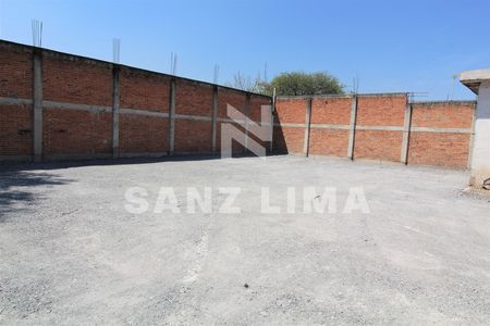
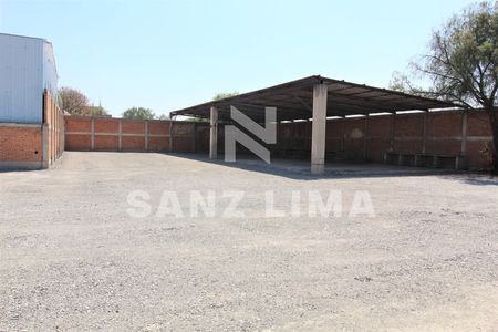
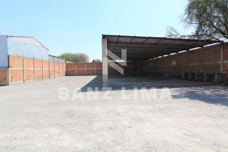
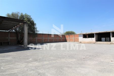
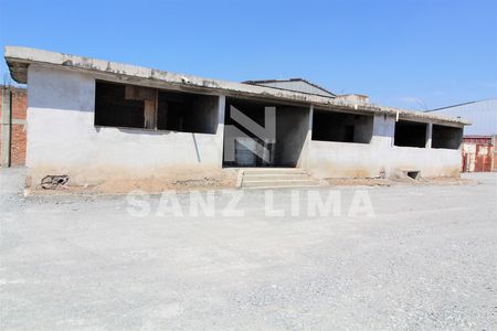
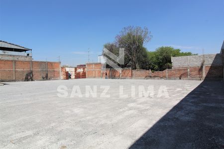
Commercial Lot in Tenería del Santuario, Celaya
Plancarte: 20 polygons, agricultural land use with drip irrigation.Plancarte: 20 Polígonos, uso de suelo agrícola con riego por goteo.
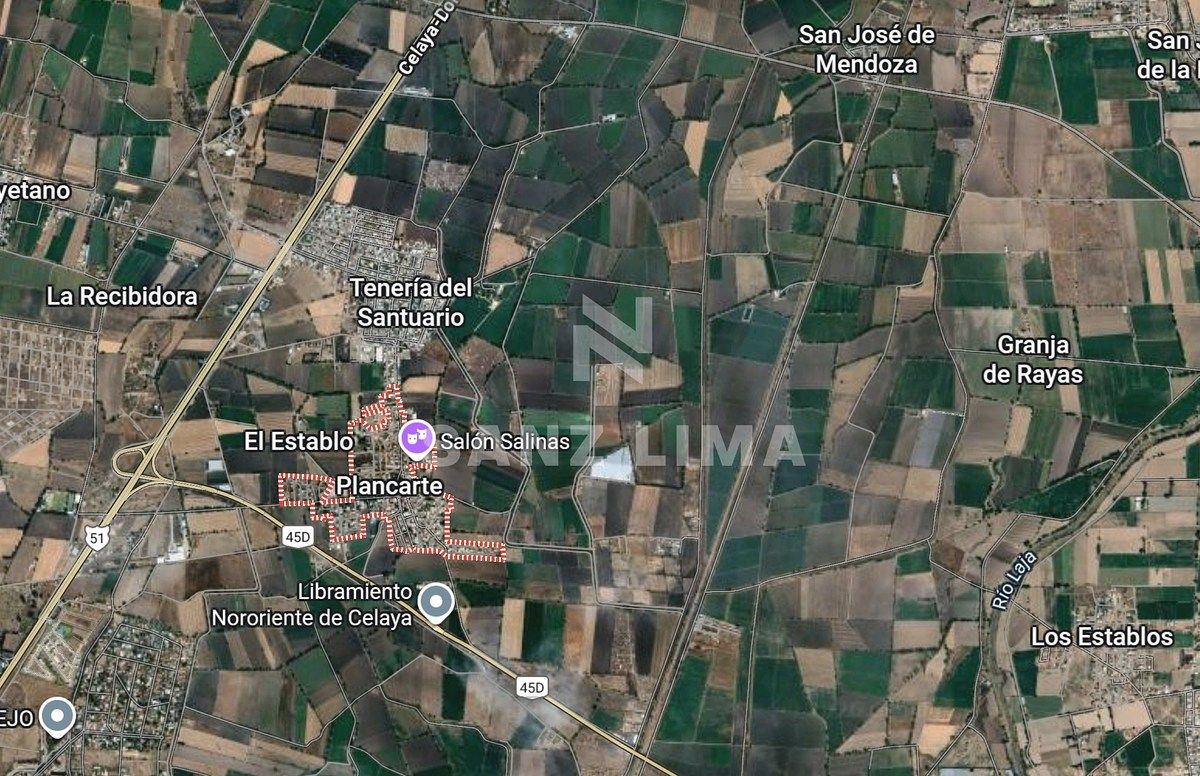
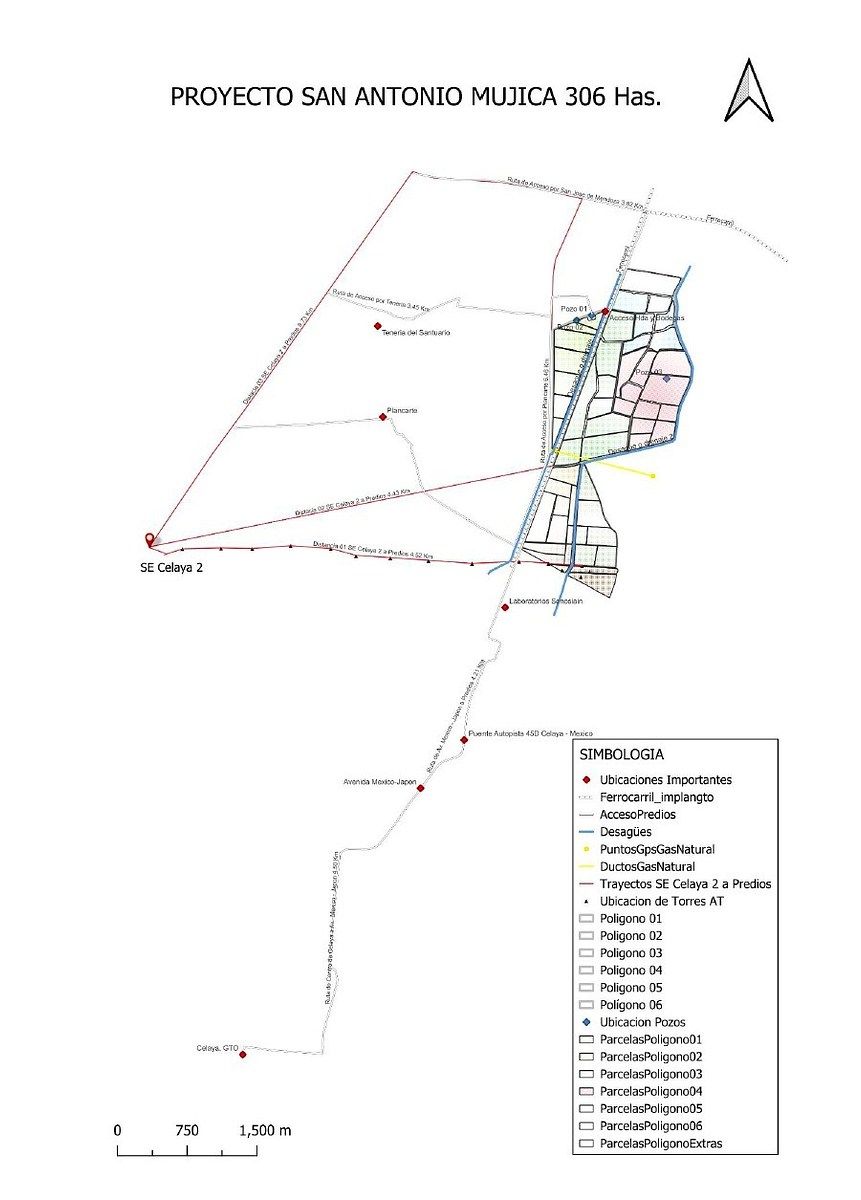
Location.
The properties are located near the Nororiente bypass of Celaya, Gto.
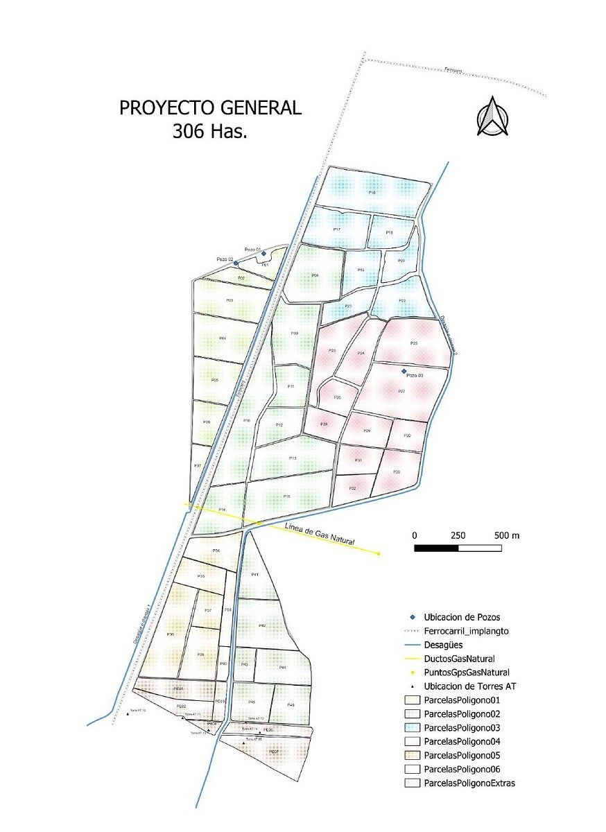
Total Area: 306 Hectares.
Property Type: Agricultural use
There are 20 properties with public deed.
Land use:
The land use is Agricultural.
The lands are worked only by their owners.
Area by Polygon and irrigation characteristics.
It should be noted that all properties have pipe connections for irrigation.
• Polygon 01: 40 Hectares with drip irrigation system.
• Polygon 02: 75 Hectares with drip irrigation system.
• Polygon 03: 50 Hectares with flood irrigation system.
• Polygon 04: 71 Hectares with flood irrigation system.
• Polygon 05: 35.5 Hectares with flood irrigation system.
• Polygon 06: 34.5 Hectares with flood irrigation system.
Types of trees on the properties:
1. Pines
2. Mesquites
3. Eucalyptus
Services.
• Water Supply. It has 3 water wells, with a 6-inch outlet, duly registered and with a valid concession issued by Conagua.
• Drainage. For this service, drains are used, which are located on the sides of the polygons, at a distance of 10 m and 5 m next to the railway.
• Electricity. The electricity service is available.
• Natural Gas. Natural Gas pipelines run through the lands, but there are no signs.
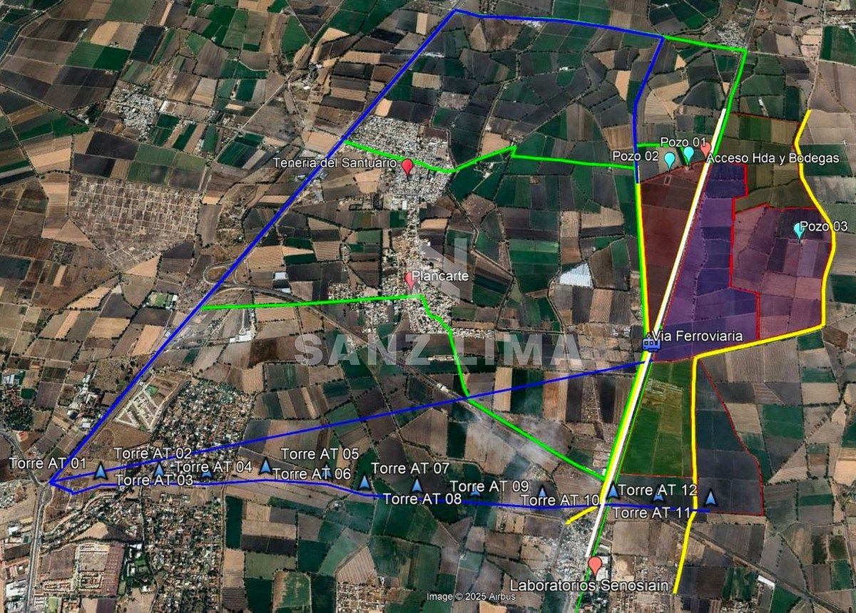
Access Roads.
• Railways. They cross most of the properties, located 15 m East of polygon 01 and 45 m West of polygons 2, 3, and 5.
• Highways. Entrances from San Miguel Octopan, Plancarte, Tenería, among others.
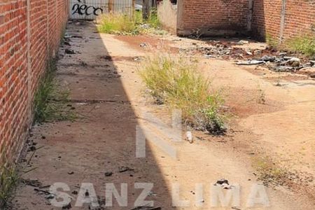
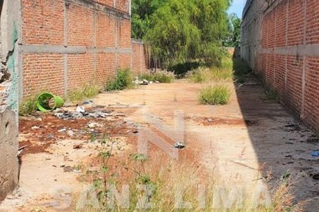
• Roads. There are dirt roads that connect all the properties.
Distances.
• 8.71 Km from the properties to the center of the city of Celaya.
* Distance from the Celaya 2 Substation to the Properties:
* 4.52 Km following 12 High Voltage towers.
* 4.43 Km in a straight line.
* 8.73 Km following the Celaya - San Miguel de Allende road, entering via the road to San José de Mendoza.
• Distance to high voltage light towers.
* 1,684 m from the center of the properties.
* 230 m from Tower 10 to polygon 05.
* 230 m from Tower 11 to polygon 05.
* 2 m from Tower 12 to polygon 06.Ubicación.
Los predios se ubican cerca del libramiento Nororiente de Celaya, Gto.
Superficie Total: 306 Hectáreas.
Tipo de Propiedad. Uso agrícola
Se cuenta con 20 propiedades con escritura pública.
Uso de suelo:
El uso de suelo es Agrícola.
Los terrenos son trabajados únicamente por sus propietarios.
Superficie por Polígono y características de riego.
Cabe señalar que todos los predios cuentan con conexión por tubería para riego.
• Polígono 01: 40 Hectáreas con sistema de riego por goteo.
• Polígono 02: 75 Hectáreas con sistema de riego por goteo.
• Polígono 03: 50 Hectáreas sistema de riego de riego por inundación.
• Polígono 04: 71 Hectáreas sistema de riego de riego por inundación.
• Polígono 05: 35.5 Hectáreas sistema de riego de riego por inundación.
• Polígono 06: 34.5 Hectáreas sistema de riego de riego por inundación.
Tipo de árboles en los predios:
1. Pinos
2. Mezquites
3. Eucaliptos
Servicios.
• Abastecimiento de Agua. Cuenta con 3 pozos de agua, con salida de 6 pulgadas, debidamente registrados y con concesión vigente emitida por Conagua.
• Desagüe o drenaje. Para este servicio son utilizados desagües o drenes, los cuales se encuentra a los costados de los polígonos, a una distancia de 10 m y 5 m al lado de la vía ferroviaria.
• Luz. Cuenta el servicio de luz.
• Gas Natural. Pasan los ductos del Gas Natural por los terrenos, solo que no tiene señalamientos.
Vías de Acceso.
• Ferroviarias. Atraviesan la mayor parte de los predios, ubicadas a 15 m al Este del polígono 01 y a 45 m al Oeste de los polígonos 2, 3 y 5.
• Carreteras. Entradas por San Miguel Octopan, Plancarte, Tenería, entre otras.
• Caminos. Cuenta con caminos de terracería que comunican todos los predios.
Recorridos.
• 8.71 Km. de distancia de los predios hasta el centro de la ciudad de Celaya.
* Distancia de la Subestación Celaya 2 a los Predios:
* 4.52 Km siguiendo 12 torres de Alta Tensión.
* 4.43 Km siguiendo una línea recta.
* 8.73 Km siguiendo la carretera Celaya - San Miguel de Allende, entrando por camino a San José de Mendoza.
• Distancia a las torres de luz alta tensión.
* 1,684 m desde el centro de los predios.
* 230 m desde la Torre 10 hasta el polígono 05.
* 230 m desde la Torre 11 hasta el polígono 05.
* 2 m desde la Torre 12 hasta el polígono 06.
Publisher


SANZ LIMA BIENES RAICES
Listing Data
- Listing ID EB-VB2729
- Operation Type Sale
- Property Type Commercial Lot
- Neighborhood Tenería del Santuario

